According to the World Bank, Pakistan is one of the most disaster-prone countries in South Asia, having suffered an estimated $18 billion in damages and losses during the past decades. The northern mountainous areas – home to some of the most disadvantaged and isolated people in the country – are subject to earthquakes, floods and many other hazards that have caused mass-scale damage in recent years. The remoteness of these areas also poses difficulties for preparedness and response efforts.
Population growth, climate change and increasing environmental degradation make future disasters more likely. Several international and national agencies work on disaster preparedness and response in Pakistan, and this has increased since the floods that affected the country in 2010. However, there are few examples of village or community level hazard, vulnerability and risk assessments (HVRAs) as a planning tool for disaster preparedness, response, rehabilitation and development.
Integrating indigenous knowledge and technology for safer habitat was set up by the Aga Khan Agency for Habitat, Pakistan (AKAH Pakistan) to integrate disaster-risk prevention into habitat planning and development projects at village and community levels. The project uses residents’ local knowledge together with Geographic Information System (GIS) data to map risks by using satellite images and advanced risk-mapping tools. It also provides training and enables residents to build homes in safer areas using construction techniques which mitigate future disaster risks.
This is a unique approach to disaster risk reduction in Pakistan. The proactive approach of promoting hazard, vulnerability and risk assessments (HVRAs) for planning – and not only for mitigation measures – enables communities to take control, reduce their dependence on humanitarian aid and be self-reliant, reducing risks and adapting to the impacts of the climate emergency.
The project in practice
The project educates and works with communities to build better and safer homes in safer areas and to develop and implement their village disaster-management plans, including structural and non-structural mitigation measures at local levels.
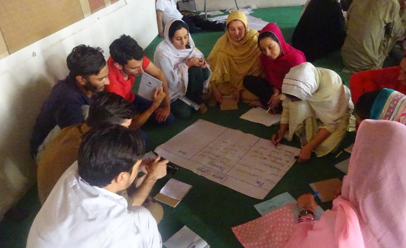
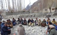
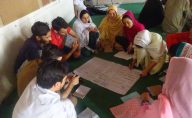
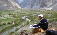
In developing the HVRAs, residents and community organisations actively participate in data collection and knowledge-sharing, including evaluation of local disaster history, identification of areas where people live or work, and collection of demographic data. The maps and findings are used to create community-based village disaster management plans.
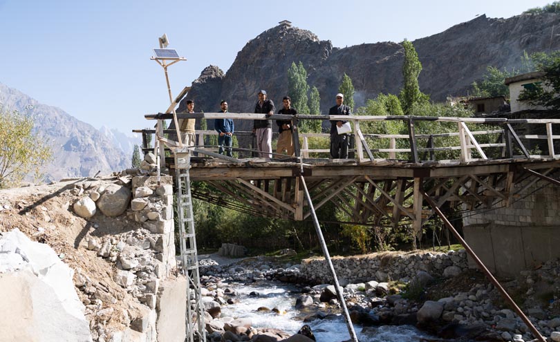
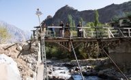
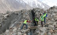
The HVRAs influence both the planning and implementation of risk-reduction measures, such as the construction of gabion walls. They are also used to identify safer sites for temporary shelters following disasters.
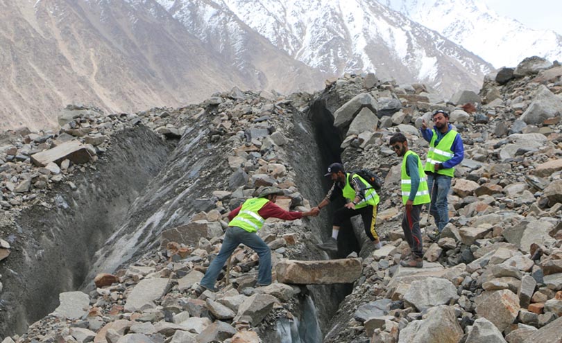
Fifty villages have been identified as ‘high-risk’, due to the regular occurrence of disasters. Therefore, relocating people from these settlements is considered the most viable option. AKAH Pakistan, together with local communities and civil society organisations, is working on developing a comprehensive relocation programme.
The maps are also shared with various government agencies and civil society organisations as tools for their planning and development programmes. AKAH Pakistan has links with academic institutions and is currently working with the Karakoram International University to educate students on participatory hazard and risk assessment, and HVRA mapping.
While the use of HVRAs is not unique to this project, AKAH Pakistan has been innovative in integrating indigenous knowledge in the process, enabling communities to play a central role, and using HVRAs not only for disaster risk reduction, but also for habitat and development planning and sustainable development. The project is, however, unique in implementing HVRAs at micro-level, in villages and communities.
Social and environmental impact
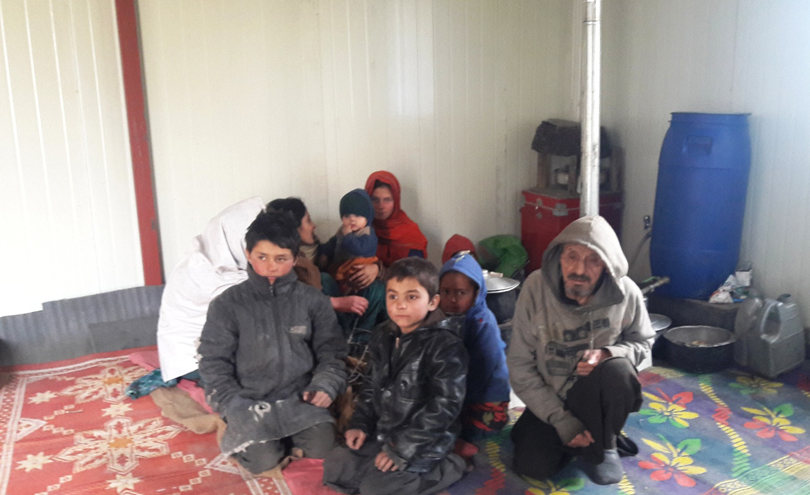
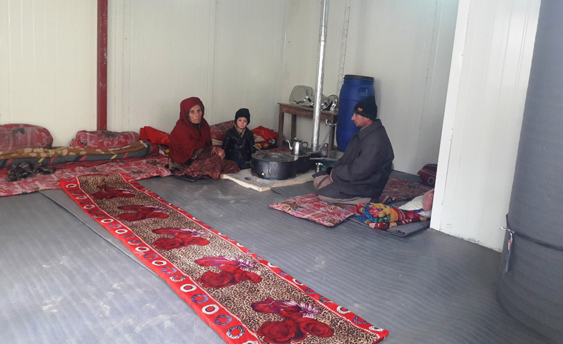
To date, AKAH Pakistan has conducted HVRAs in 785 settlements, mostly in the mountain areas of Gilgit-Baltistan and Chitral regions – home to more than one million people. The project has provided more than 20,000 households with technical assistance in maintaining and improving their homes, constructed over 4,000 shelters for internally displaced people, and created more than 280 community disaster management plans.
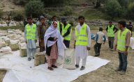
Over 50,000 community volunteers have been trained across Pakistan in community-based disaster risk management. Alongside AKAH Pakistan, they have responded to over 200 disasters and, through the use of HVRAs, identified 50 extremely hazard prone settlements for relocation. AKAH Pakistan has also established 190 community-managed emergency stockpiles, which include tents, blankets, search and rescue tools and first aid kits.
In addition, they have installed 52 community-based weather monitoring posts and four early warning systems. These alert communities of the need for temporary evacuation, saving lives from avalanches and floods.
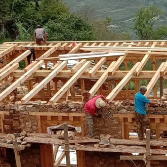
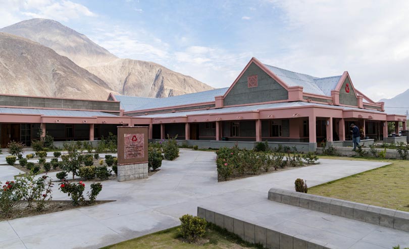
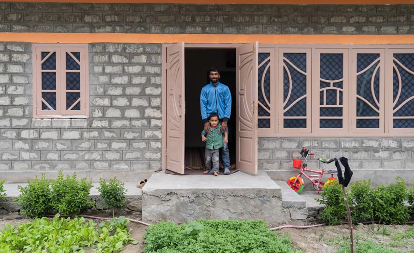
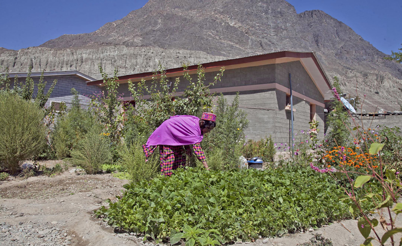
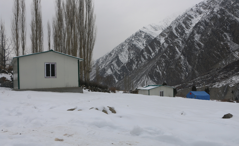
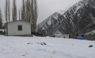
AKAH Pakistan has used the HVRAs to inform its habitat planning activities for its Multi-Input Resettlement Program (MIRP) housing project, which is part of its longer-term relief efforts after 2010’s floodings and Attabad landslide. Through this project, AKAH has constructed 370 houses on safer sites in Hunza, Gilgit, Ghizer, and Chitral, for internally displaced people. They have also constructed over 100 community buildings – including schools, health centres and community facilities – in safe zones identified using HVRA maps and assessment reports.
Pakistan’s National Disaster Management Authority has recognised, encouraged, and also incorporated HVRA as a best-practice measure. AKAH Pakistan has also contributed to the National Disaster Management Plan and helped shape community-based disaster risk management guidelines.
The future
Since its beginnings as a research activity to produce a pilot map for a district in northern Pakistan, the project has been improved by developments in science and technology as well as through the knowledge and input of communities, and has been scaled-up to reach almost 800 villages in Pakistan.
AKAH Pakistan plans to further expand the scale and scope of the project to oversee more sustainable and safer habitat planning in Pakistan and increase the use of HVRAs among local communities to promote their incorporation into:
- land-use planning and management;
- housing and infrastructure development;
- natural resources management;
- agricultural and forest management;
- tourism development;
- emergency management; and
- disaster risk reduction.
By the end of 2025, AKAH Pakistan plans to have conducted and updated over 2,000 HVRAs across Pakistan.

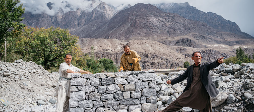
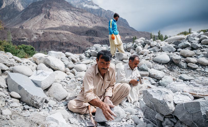


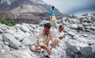


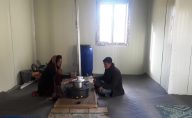
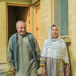 Safaraz, aged 55, works as a mason and was displaced by the landslide in Attabad in 2010.
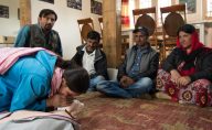
 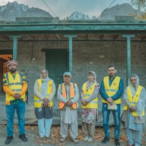 Amanullah Khan, aged 58, works as a teacher, farmer and local guide. He is a Community Emergency Response Team (CERT) captain in Gulmit, Hunza – one of 40,000+ volunteers who have received AKAH’s training on community-based disaster risk management.